Home > Asia > Japan > Maps
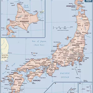
1818, Pinkerton Map of Korea and Japan, John Pinkerton, 1758 - 1826, Scottish antiquarian

![]()
Wall Art and Photo Gifts from Liszt Collection
1818, Pinkerton Map of Korea and Japan, John Pinkerton, 1758 - 1826, Scottish antiquarian
1818, Pinkerton Map of Korea and Japan, John Pinkerton, 1758 - 1826, Scottish antiquarian, cartographer, UK
Liszt Collection of nineteenth-century engravings and images to browse and enjoy
Media ID 14007021
© Artokoloro Quint Lox Limited
1758 1826 1758 – 1826 17581826 1818 Cartographer John Pinkerton Scottish Antiquarian Antique Map Atlas Chart Geographic Latitude Longitude Mappa Mundi Old Antique Plan Old Antique View Old Map Ols Antique Map Rare Old Maps Topo
FEATURES IN THESE COLLECTIONS
> Europe
> United Kingdom
> Maps
> Maps and Charts
> Early Maps
> Maps and Charts
> World
EDITORS COMMENTS
This print showcases the remarkable "1818, Pinkerton Map of Korea and Japan" created by John Pinkerton, a distinguished Scottish antiquarian and cartographer. With meticulous attention to detail, Pinkerton skillfully crafted this map, which serves as an invaluable historical artifact. The map encompasses the topography, geography, and land features of both Korea and Japan during that era. Its intricate illustration captures the essence of these regions with precise geographic accuracy. The grid lines marking latitude and longitude add a touch of geometric elegance to this vintage piece. As one delves into its ancient charm, they are transported back in time to an era when exploration was at its peak. This decorative map not only provides navigational assistance but also offers a glimpse into the rich history and cultural heritage of these lands. Printed on aged paper with retro aesthetics, it exudes an aura of nostalgia that resonates with history enthusiasts worldwide. This rare antique map is more than just a visual representation; it embodies centuries-old journeys undertaken by brave explorers who ventured into uncharted territories. Whether displayed in homes or offices, this exquisite artwork sparks curiosity about our world's past while celebrating the artistry involved in cartography. It invites viewers to embark on their own journey through time as they immerse themselves in the fascinating stories hidden within its borders.
MADE IN THE USA
Safe Shipping with 30 Day Money Back Guarantee
FREE PERSONALISATION*
We are proud to offer a range of customisation features including Personalised Captions, Color Filters and Picture Zoom Tools
SECURE PAYMENTS
We happily accept a wide range of payment options so you can pay for the things you need in the way that is most convenient for you
* Options may vary by product and licensing agreement. Zoomed Pictures can be adjusted in the Cart.