Home > Europe > Norway > Maps
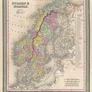
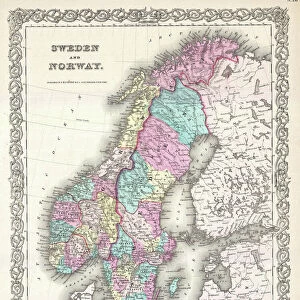
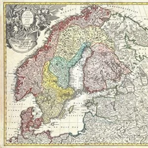
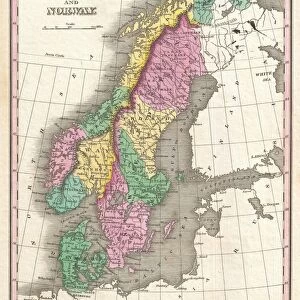
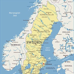
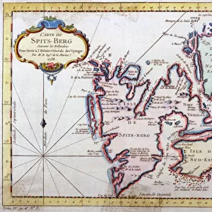
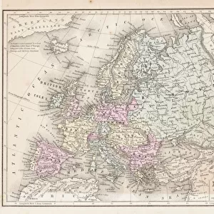
1850, Mitchell Map of Sweden and Norway, topography, cartography, geography, land

![]()
Wall Art and Photo Gifts from Liszt Collection
1850, Mitchell Map of Sweden and Norway, topography, cartography, geography, land
1850, Mitchell Map of Sweden and Norway
Liszt Collection of nineteenth-century engravings and images to browse and enjoy
Media ID 14007326
© Artokoloro Quint Lox Limited
1850 Antique Map Atlas Chart Geographic Latitude Longitude Mappa Mundi Old Antique Plan Old Antique View Old Map Ols Antique Map Rare Old Maps Topo
FEATURES IN THESE COLLECTIONS
> Maps and Charts
> Early Maps
> Maps and Charts
> World
EDITORS COMMENTS
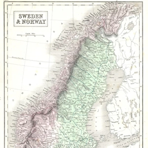
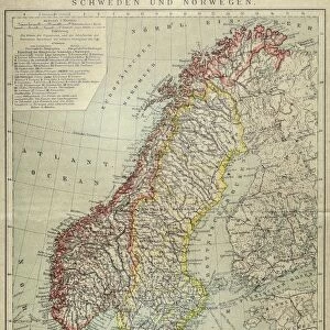
This print showcases the remarkable 1850 Mitchell Map of Sweden and Norway, a true masterpiece in the realms of topography, cartography, and geography. With its intricate details and precise land representations, this vintage map takes us on a journey through time to explore the ancient history of these Scandinavian lands. The illustration is a testament to the artistry involved in creating such historical maps. Its decorative elements add an aesthetic charm that transports us back to an era when navigation relied heavily on paper maps like this one. The aged appearance further enhances its allure, evoking a sense of nostalgia for bygone eras. As we gaze upon this rare old map, we are reminded of the importance placed on geographical knowledge during times when exploration was at its peak. This particular piece offers invaluable insights into the region's past and serves as a valuable resource for researchers and enthusiasts alike. With its grid lines denoting latitude and longitude, this Mitchell Map provides not only geographic accuracy but also serves as an educational tool for understanding Earth's diverse landscapes. It stands as a mappa mundi—a representation of our world—capturing both space and region within its meticulously crafted borders. This print from Liszt Collection invites us to appreciate the beauty found in historical cartography while igniting our curiosity about distant lands explored centuries ago.
MADE IN THE USA
Safe Shipping with 30 Day Money Back Guarantee
FREE PERSONALISATION*
We are proud to offer a range of customisation features including Personalised Captions, Color Filters and Picture Zoom Tools
SECURE PAYMENTS
We happily accept a wide range of payment options so you can pay for the things you need in the way that is most convenient for you
* Options may vary by product and licensing agreement. Zoomed Pictures can be adjusted in the Cart.