Home > Europe > United Kingdom > England > Maps
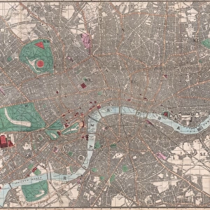
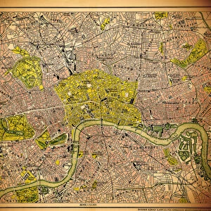
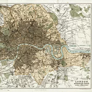
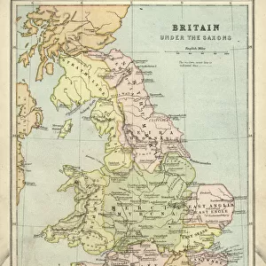
1895, Philip Pocket Map or Plan of London, England, topography, cartography, geography

![]()
Wall Art and Photo Gifts from Liszt Collection
1895, Philip Pocket Map or Plan of London, England, topography, cartography, geography
1895, Philip Pocket Map or Plan of London, England
Liszt Collection of nineteenth-century engravings and images to browse and enjoy
Media ID 14006452
© Artokoloro Quint Lox Limited
1895 Antique Map Atlas Chart Geographic Latitude Longitude Mappa Mundi Old Antique Plan Old Antique View Old Map Ols Antique Map Rare Old Maps Topo
FEATURES IN THESE COLLECTIONS
> Europe
> United Kingdom
> England
> London
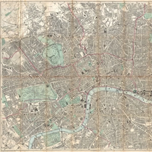
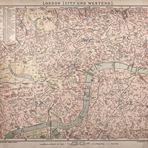
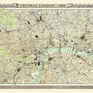
> Related Images
> Europe
> United Kingdom
> England
> Maps
> Maps and Charts
> Early Maps
> Maps and Charts
> World
EDITORS COMMENTS
This vintage print from the Liszt Collection showcases a remarkable piece of history - the 1895 Philip Pocket Map or Plan of London, England. With its intricate topography and detailed cartography, this map offers a glimpse into the past, allowing us to explore the geography of one of the world's most iconic cities. The artistry and craftsmanship evident in this ancient map are truly captivating. Its delicate lines and precise grid system highlight both latitude and longitude, providing an accurate representation of London's landscape during that era. The decorative elements add a touch of elegance to this historical artifact, making it not just a practical tool but also a work of art. As we gaze upon this aged paper print, we can't help but imagine the journeys taken by those who relied on these maps for navigation. It serves as a reminder that exploration and discovery were once guided by such meticulously crafted pieces. This rare old map transports us back in time, offering insights into how our ancestors perceived their world. Whether you're an avid collector or simply fascinated by history, this antique treasure is sure to spark your curiosity about London's past. Displayed proudly on any wall, it becomes more than just an illustration; it becomes a window into another era - inviting us to embark on our own journey through time.
MADE IN THE USA
Safe Shipping with 30 Day Money Back Guarantee
FREE PERSONALISATION*
We are proud to offer a range of customisation features including Personalised Captions, Color Filters and Picture Zoom Tools
SECURE PAYMENTS
We happily accept a wide range of payment options so you can pay for the things you need in the way that is most convenient for you
* Options may vary by product and licensing agreement. Zoomed Pictures can be adjusted in the Cart.